Search for Oslo hidden gems and the same names come back every time: Damstredet, the Emanuel Vigeland Mausoleum, a couple of cafés that were secret in 2019. Most of them are good places. They are also, by now, fixed stops on the standard route, printed in every guidebook and sitting near the top of Tripadvisor's list, which is a strange definition of hidden.
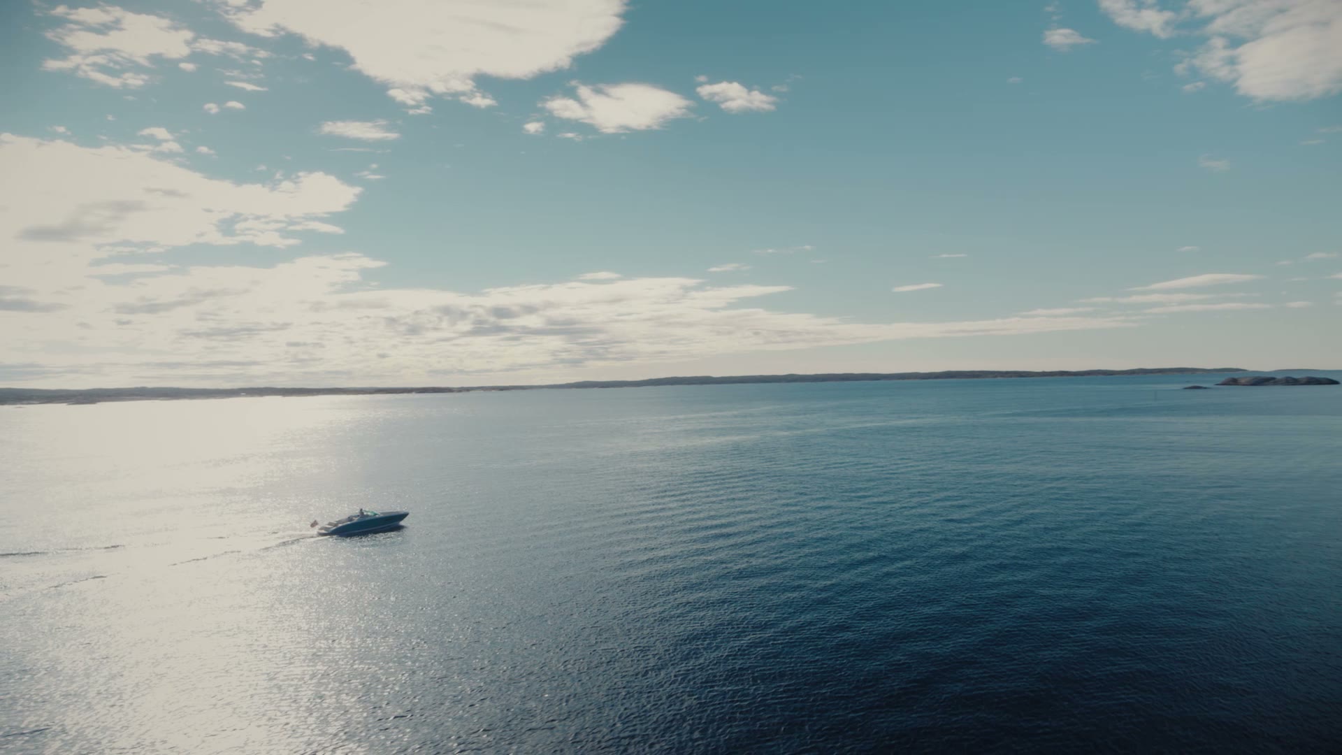
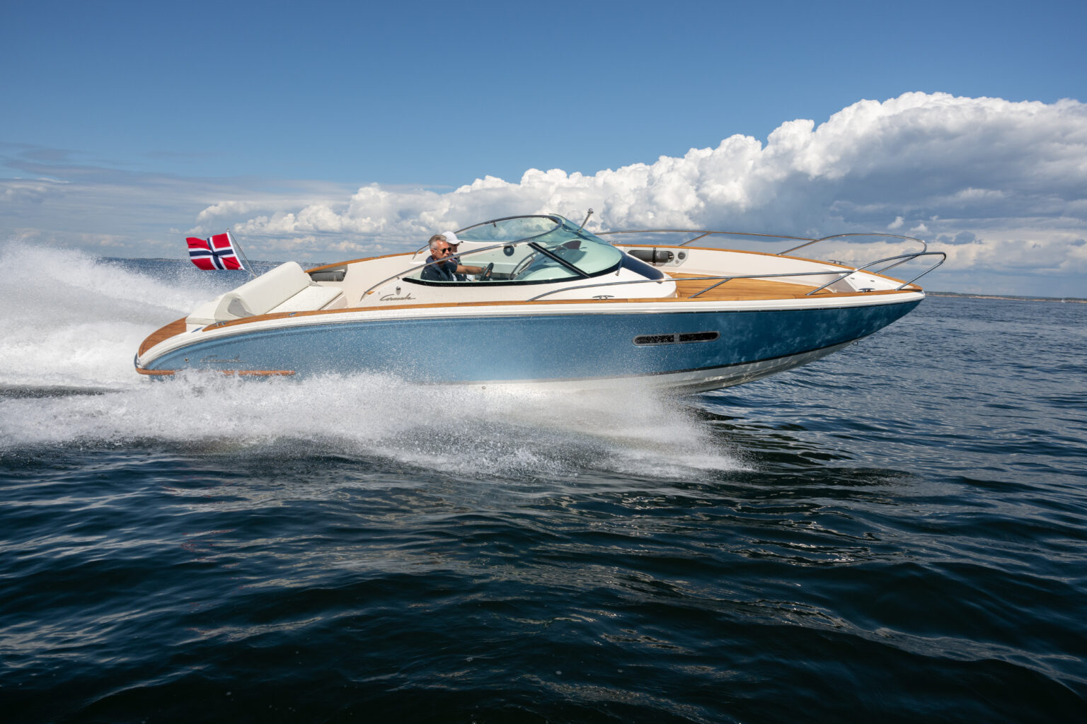
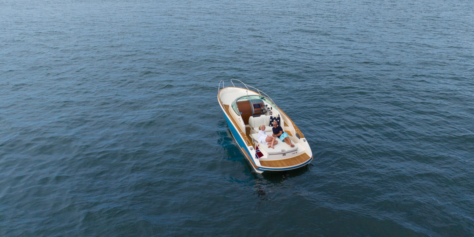
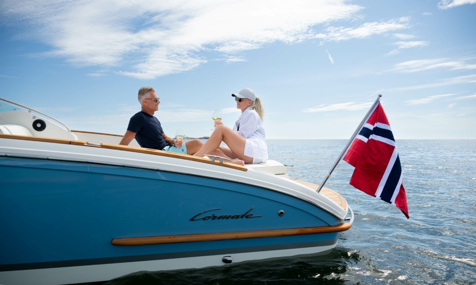
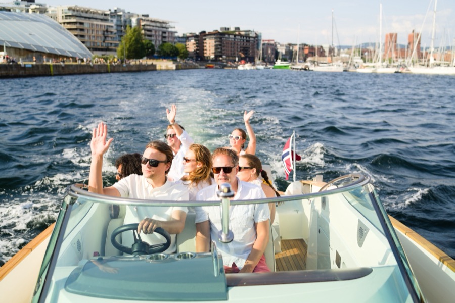
The test below is stricter. For each place I asked whether someone who lives in Oslo would go there on a day off, with no visitor to entertain. A few of the famous ones pass, and I say which. The rest never make the round-ups at all, and most of those sit on the water. Travel sites cover Oslo from land. We run a boat out of Tjuvholmen daily, and the corners of this city that stay empty are the ones you need a hull to reach.
The back side of Gressholmen. The ferry lands on the other side of the island, so almost nobody sees this.
The hidden gems you need a boat for
The Ruter ferry lands on the north side of Gressholmen and nearly everyone walks straight to the kro. Go the other way. On the back of the island, where Gressholmen joins Rambergøya and Heggholmen by narrow causeways, the water sits in a sheltered pocket that turns a turquoise you would not expect at 59 degrees north. The bottom is sand, the water is shallow and, by fjord standards, warm. No path shows it to you properly and no sign names it. We anchor there on weekday mornings, and guests regularly ask whether we are still in Oslo. More of these are in our guide to the secret beaches of the Oslofjord, and for ferry times and what is actually on the island, osloislands.com has a practical page for Gressholmen.
The island earns a second visit for what it used to be. Oslo's first airport opened here in 1927, with seaplanes coming down on the sheltered water between the islands, and the seaplane harbour stayed until it moved to Fornebu in 1952 (Wikipedia). Most of the cluster has been a nature reserve since 1992. The kro everyone queues at is younger than the guidebooks imply: it closed in 2015 after 25 years and reopened under new owners in 2017. The rabbits people still ask about were culled at Easter 2007, because their grazing was eroding the ground and damaging protected plants. Tuesday is the day to go; on a warm Saturday the queue at the kro stretches around the corner.
Hovedøya itself is no secret, and the monastery ruins draw picnickers all summer. But the smooth rock slabs along the island's southern edge have no path leading to them, which in practice means they belong to whoever arrives by water. It is a short ferry ride from the City Hall pier, and you can still have the rocks to yourself on a July afternoon.
Heggholmen light stands on the rocks at the edge of the same cluster, and it is one of the quietest places in the inner fjord. You hear water against stone and very little else. Kayakers know it; ferry passengers never see it.
Steilene lies south of Nesodden, where the inner fjord starts opening toward the sea: five small islands, Landsteila and Persteila (now joined), Knerten, Storsteila and Fyrsteila. A harbour seal turns up on the rocks here now and then at low tide, usually a single animal wandering in from the outer-fjord haul-outs, and we wrote a full piece on the seals at Steilene because they deserve one. Knerten is a bird reserve where landing is banned from 15 April to 15 July, and the birds have opinions about your distance.
Fyrsteila carries the lighthouse station. A guiding light was established here in 1837, and in 1919 the whole station was moved 90 metres across the islet to sit closer to the main channel. That move is when the keeper got his concrete house, a wooden outbuilding and a three-storey concrete tower with a lens apparatus (Store norske leksikon). The light was automated in 1967, the station was left unmanned in 1984, and the lamp itself came down in 2016 once the fairway had guide lighting of its own. Since 1997 Oslofjordens Friluftsråd has rented out part of the station as a coastal-trail cabin, so the keeper's house is somewhere you can sleep. Access and the layout of the five islands are on the Steilene page at osloislands.com.
One practical trap: the island ferries leave from Rådhusbrygge, but the boat to Steilene leaves from Aker Brygge. People mix those two piers up every summer.
My test for a hidden gem is whether I go there on my day off. The answer is the cove behind Gressholmen, on a weekday, before the kro opens. I have the whole island group to myself for an hour.
On land: parks, river and neighbourhoods
Ekebergparken at sunset. A forested hillside above the fjord, free to enter and open around the clock all year. The sculpture park opened on 26 September 2013, and by 2025 it held 47 sculptures and installations by 43 artists (Store norske leksikon), among them Marina Abramović's The Scream from the opening year. The park is in plenty of guides. The local habit is the timing: go up for the last hour of light, when the tour buses have gone.
Akerselva in spring flow. The river runs 9.8 kilometres through the middle of the city and drops 149 metres on the way, with 20 natural waterfalls between Maridalsoset and Nedre Foss (Wikipedia). Bjølsenfossen drops 16 metres; the falls at Beierbrua in Sagene, beside Hønse-Lovisas hus, are the ones people photograph. Locals use this path constantly, as a commute and as a Sunday walk, which is exactly why it passes the test. During snowmelt the falls are loud enough that you stop hearing the city.
Losæter. A working grain field, a vegetable garden and a ship-shaped bakehouse, wedged between construction sites and motorway traffic in Bjørvika. The city got a public bakehouse here in 2016, run by the Flatbread Society, Oslo's city farmer and the Herligheten allotment community. It is free to walk through in the daytime, five minutes from the Opera House, and most people crossing Bjørvika have no idea it exists. Check the calendar on loseter.no for baking days before you plan around the bakehouse itself.
Kampen and Rodeløkka. Two wooden-house neighbourhoods that survived because they stood outside the old city boundary when Kristiania banned new timber buildings. Kampen filled up fast: the population multiplied tenfold in the decade after 1855, stood at 2,739 by 1875, and the whole hill was taken into Kristiania in 1878 (lokalhistoriewiki). Rodeløkka is the quieter of the two, and 137 of its wooden houses were listed as worth preserving in 2007 (lokalhistoriewiki): picket fences, cherry trees, alleys with names like Snippen, and every house painted differently. People live in all of them, so walk slowly and leave the gardens out of your photos.
The Bygdøy shore path. Everyone knows Huk. Fewer walk the coastal path around the peninsula, which strings together piers, benches and pocket beaches most maps don't bother naming. Paradisbukta, a kilometre or so west of Huk, is the known quantity; the small coves between the two are where locals with a book and a thermos end up. Bus 30 from Jernbanetorget runs to Huk, and the walking is easy.
The famous "hidden gems", judged honestly
Damstredet and Telthusbakken. These two streets have had cobblestones, wooden houses from the first half of the 1800s and a place in every guidebook for a decade. Still worth it, with an honest framing: a local uses them as a shortcut and makes no trip of it, and the history is better than the photo op. Telthusbakken exists because the hill was considered useless for anything else, so the poor were allowed to build in timber there; around 1850 the little street held 231 residents, and the poet Henrik Wergeland lived at the top. Above both streets stands Gamle Aker kirke, Oslo's oldest surviving building, begun sometime between 1080 and the mid-1100s (Store norske leksikon), and across the road lies Vår Frelsers gravlund, where Ibsen and Munch are buried. Go before 09:00 and you get the cobblestones, the church and the graves in peace.
The Emanuel Vigeland Mausoleum. This is the one entry on every list that fully survives the hype. Emanuel Vigeland was Gustav's brother, and his studio building at Slemdal opened as a museum in 1959. Inside is a single dark, barrel-vaulted room: 800 square metres of wall and ceiling under the fresco Vita, the human life cycle from conception to death, with considerable weight on the erotic (Store norske leksikon). His urn is kept in that room, so you are in there with the artist. The acoustics stretch a whisper across the whole vault. Opening days are few and tickets go through the museum itself, so check before you cross town. Plenty of Oslo residents have never been. The ones who have gone tend to go back.
How to actually reach these places
The land gems need nothing but a transit ticket: bus 30 to Bygdøy, the tram toward Ekeberg, your feet for Akerselva and the wooden streets. The inner islands run on Ruter ferry lines from Rådhusbrygge year-round, with the summer-only B2 to Langøyene, and an ordinary day pass covers every island ferry along with the buses and trams (current lines and timetables at ruter.no). Our ferry island-hopping guide covers the routes in detail.
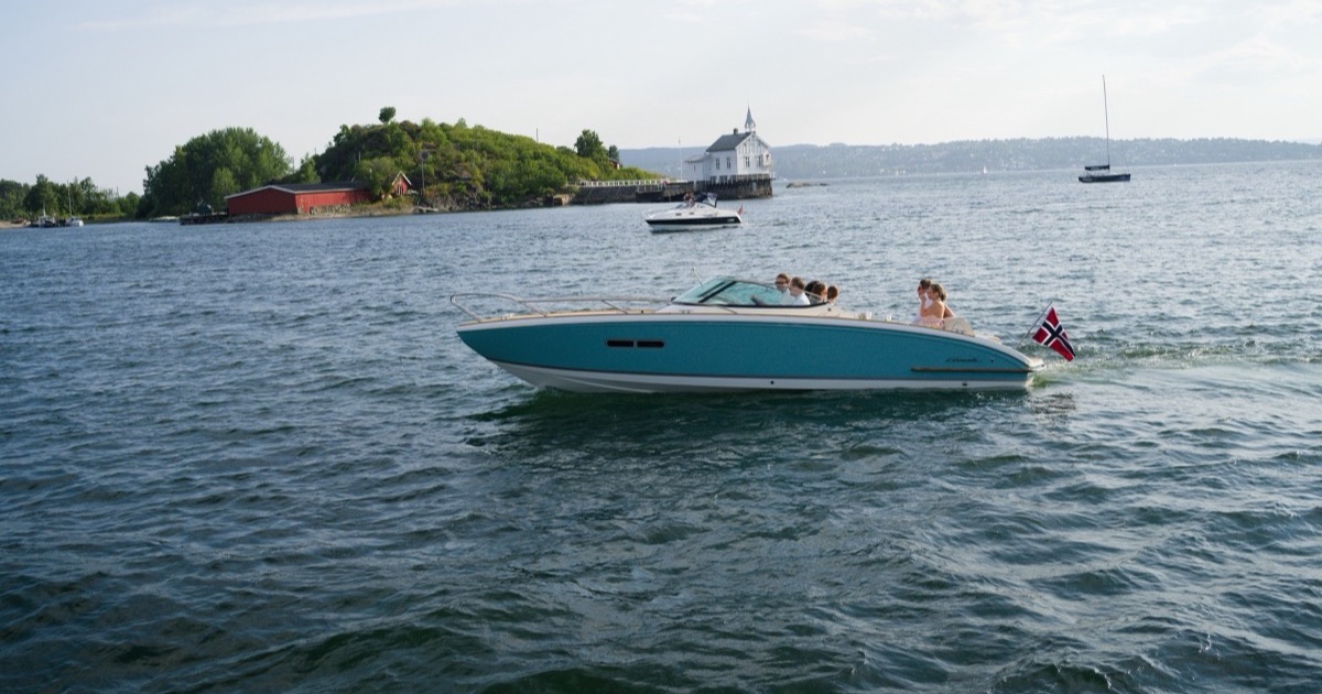
The coves, the pathless rocks, Heggholmen and the Steilene seals are a different category, because no ferry lands where they are. A private cruise takes up to seven guests and goes exactly where the light and the water are best that day; the places in the first half of this article are ordinary stops for us, and you can check dates here. A kayak works too, if you have the experience and a calm forecast.
Either way, note the piers: island ferries from Rådhusbrygge, the Steilene boat from Aker Brygge, our boats from Tjuvholmen. Three docks within ten minutes' walk of each other, and getting them wrong costs you an afternoon.
Ferry seasons, timetables and museum opening hours change from year to year, so check the linked sources. Last reviewed: July 2026.
More from the fjord
Hovedøya: The Monastery Island Seven Minutes from Oslo
A Cistercian monastery from 1147, Napoleonic gun batteries and the inner fjord's best swimming rocks — seven minutes from City Hall pier.
GuideIsland Hopping on Oslo's Public Ferries: The Free Day Trip
A NOK 137 Ruter day pass unlocks six islands, free camping, monastery ruins, and hidden beaches. The complete guide to Oslo's public ferry network.
GuideThe Best Beaches and Swimming Spots on the Oslofjord
From Huk and Sorenga to the coves only boats can reach. Oslo's best beaches, water temperatures, and where locals actually swim.