The Oslofjord runs about 100 kilometres from the Færder lighthouse north to Oslo, along a fracture in the earth's crust that opened roughly 300 million years ago. Norwegian reference works classify it two different ways. Store norske leksikon calls it a typical sill fjord, formed in a Permian fault zone and later scoured out, mainly by the ice ages. The standard description of the inner fjord is a graben: a block of crust that dropped between two fault lines and afterwards came into contact with the sea. The feature that governs the water today is the sound at Drøbak, about a kilometre wide, with 19 metres of water over the rock.
Stand on the western shore of Nesodden (NEH-sod-den) on a clear morning and look north. The water runs toward Oslo in a long, quiet channel between low granite hills and dark spruce, with a couple of sailboats barely moving on it. Anyone who has seen the fjords on the west coast will read this as one of them. What made it is older. Sognefjorden and Geirangerfjorden are the work of ice. The Oslofjord (OSS-lo-FYOR-den) began as a crack in a continent, and the ice arrived to find the valley already open.
That sequence explains the depth profile, the shape, the reason a fortress at Oscarsborg could sink a warship in 1940, and the reason the water in the inner fjord behaves nothing like the water outside it. For answers to more common questions about the fjord, see our frequently asked questions.
The Oslofjord stretches 100 kilometres from Oslo to the open Skagerrak
Is the Oslofjord a real fjord?
It depends on which definition you apply, and Norwegian sources split on it. Store norske leksikon classifies the Oslofjord as a typical sill fjord, formed in a fault zone that opened in the Permian and dug out later, mainly during the ice ages. The Norwegian Wikipedia entry takes the opposite line on the inner fjord: in modern geoscientific terms it is not a fjord at all, but a graben that has come into contact with the sea.
Both descriptions cover the same body of water. The disagreement is about which event counts as the origin. In a west-coast fjord, ice found bedrock and ground a trench into it over millions of years. Here the trench was already there, and the glaciers inherited it.
The name is older than the argument. To medieval Norwegians, any long, sheltered inlet was a fjord. The Old Norse word means something closer to a place you fare through, a passage, a crossing point, and by that definition the Oslofjord qualifies without difficulty.
The Oslo Rift: 300 million years of geology
The structure under the fjord is the Oslo Rift (Oslofeltet in Norwegian): a block of crust that sank between two parallel faults as the surface stretched apart. It runs roughly 200 kilometres from Langesund in the south to well beyond Oslo in the north, and it formed during the Permian, approximately 300 million years ago, when this part of the world sat near the equator.
The rifting came with volcanism. Magma pushed up through the fractures and cooled into rock you can still walk on. If you have been up Kolsaas (KOHL-sohs), the flat-topped hill west of Oslo that climbers use, you were standing on rhomb porphyry, a lava whose feldspar crystals are shaped like rhombs, which is where the rock gets its name. The volcano itself was next door. Kolsås is an older outcrop immediately southwest of the Bærum caldera, an enormous vent worn flat since. Rhomb porphyry is close to a local speciality: it occurs in the Oslo region, in East Africa and in Antarctica, and nowhere else on earth.
The Geological Survey of Norway (NGU) has mapped the rift in detail, and the rock types read like a textbook index: larvikite, rhomb porphyry, syenite, basalt. Larvikite is a monzonitic intrusive rock named after the town of Larvik at the southern end of the rift, and it was voted Norway's national rock in February 2008, at NGU's 150th anniversary, taking 40 percent of a public vote. You have probably seen it without registering it. It is the iridescent blue-grey stone on building facades across Europe, and once you learn to recognise it you start spotting it in hotel lobbies in London and shopping centres in Hamburg.
Then came the ice ages. Over the past 2.6 million years, glaciers advanced and retreated across Scandinavia repeatedly, and each pass deepened and widened the existing valley, scraping the bedrock and dumping moraines. When the ice left at the end of the last glaciation, seawater flooded the depression behind it.
The land is still adjusting. Postglacial rebound, the slow rise of the crust after the weight of the ice came off, continues around the Oslofjord. Nobody notices it in a lifetime, but harbours that once served Viking ships now sit above the waterline.
How deep is the Oslofjord?
Store norske leksikon gives a water depth of up to 160 metres in the inner Oslofjord. The number that decides more, though, is 19: the depth over the rock at Drøbak, where a ridge crosses the seabed and splits the fjord into two systems that barely mix.
| Measurement | Figure | Source |
|---|---|---|
| Length, Færder to Oslo | about 100 km | SNL, Oslofjorden |
| Length, Færder to Bonn at the head of the Bunnefjord | about 120 km | SNL, Oslofjorden |
| Width, outer fjord | 10–20 km | SNL, Oslofjorden |
| Width, the sound at Drøbak | about 1 km | SNL, Oslofjorden |
| Width, inner fjord | 3–5 km | SNL, Oslofjorden |
| Depth, inner Oslofjord | up to 160 m | SNL, Indre Oslofjord |
| Depth in the sound at Drøbak | 19 m | SNL, Indre Oslofjord |
| Bunnefjord: sill, then deepest point | about 60 m, then about 150 m at Svartskog | Bunnefjorden |
| Sognefjorden, for comparison | 205 km long, 1,303 m deep | SNL, Sognefjorden |
| Hardangerfjorden, for comparison | 180 km long, 855 m deep | SNL, Hardangerfjorden |
Sognefjorden reaches 1,303 metres off the Vadheimsfjord because ice ground into the bedrock there with enormous force for millions of years. The Oslofjord is shallow by that standard. The rift valley was broad and gently sloped before the glaciers arrived, and they widened it without cutting the narrow, plunging trench that defines a west-coast fjord.
The Droebak Sill: the fjord's chokepoint
At Droebak (DROO-bahk), roughly 30 kilometres south of Oslo, the fjord squeezes into a sound about a kilometre across, and a ridge of rock rises to within 19 metres of the surface. This is the Droebak Sill, and it decides more about the inner Oslofjord than any other feature. Reaching it by boat from Oslo takes a good three hours each way, so seeing the sill and the fortress properly means setting aside a full day on the water.
Water above 19 metres moves fairly freely between the inner and outer fjord, driven by tides, wind and differences in temperature and salinity. Everything below that depth is largely trapped. It can only be replaced when conditions push dense, oxygen-rich water from the outer fjord over the sill and down into the basin, which happens irregularly, sometimes only once or twice a year. When it fails to happen for long enough, the deep water loses its oxygen. The Bunnefjord has its own sill of about 60 metres on top of that, and about 150 metres of water behind it at Svartskog, which is why the worst oxygen conditions in the whole system sit there.
Cross the sill at Drøbak and the water changes. Colour, smell, what's living in it. North of the sill it's a different ecosystem from the outer fjord, even though on the chart they look like the same body of water.
Norwegians recognised the chokepoint centuries ago. Oscarsborg Fortress was built between 1845 and 1855 on Søndre Kaholmen, an island in the middle of the sound, and took its name when King Oscar I came to inspect the works in 1855. On 9 April 1940, the German heavy cruiser Blücher led an invasion force up the narrows toward Oslo. Two 28-centimetre shells from Søndre Kaholmen hit her, the batteries at Kopås and Husvik joined in, and two torpedoes came from the battery dug into the neighbouring island of Nordre Kaholmen. She sank at 06:22. There was nowhere to manoeuvre and nowhere to turn, and the delay gave the royal family and the government time to leave Oslo with the national gold reserves. We have a full account of the sinking and a guide to visiting Drøbak and Oscarsborg.
How long is the Oslofjord?
About 100 kilometres from the Færder lighthouse to Oslo, and about 120 if you measure to Bonn at the head of the Bunnefjord, according to Store norske leksikon. The inner Oslofjord, from Oslo to Droebak, accounts for roughly 30 of those kilometres. The fjord separates the counties of Vestfold on the west and Oestfold on the east.
Width is where the rift shows itself. The outer fjord is 10 to 20 kilometres across, then the sound at Drøbak pinches it to about one, and inside the sill it opens again to 3 to 5 kilometres. A graben produces a broad, open depression like that. A glacial fjord produces a slot.
The shape of the fjord
Seen from above, the Oslofjord resembles a long Y. The main channel runs north to south, and at the northern end it splits around the Nesodden peninsula into two arms: a western branch leading to Oslo's harbour, and an eastern branch running down to the Bunnefjord.
The inner fjord, everything north of the Droebak Sill, is sheltered and full of islands. Hovedøya (HOO-ved-oy-ah), Gressholmen (GRESS-hol-men), Langøyene (LANG-oy-en-eh), Bleikoeya (BLAY-koy-ah), Nakholmen (NAHK-hol-men) and Lindoeya all sit within a few minutes' ferry ride of the city centre. In summer they are Oslo's backyard: swimming beaches, hiking trails, medieval ruins on Hovedøya, a nature reserve on Gressholmen. The water is clean enough to swim in, a fact that would have shocked anyone who knew the fjord in the 1970s.
South of the sill, the outer fjord opens up: wider water, longer fetch, more exposure to wind and swell. The Hvaler archipelago out toward the Swedish border feels wilder than anything inside the narrows. The surrounding coastline is dotted with towns that carry their own stories. Droebak with its Christmas associations and its fortress; Moss, an industrial town reinventing itself; Fredrikstad, with its preserved 17th-century fortified old town; Tønsberg, one of Norway's oldest cities; Sandefjord, once the whaling capital of the world. And Larvik, gateway to the larvikite quarries at the southern end of the rift.
The inner fjord at sunset and the outer fjord at Færder feel like different bodies of water, and physically they behave like it. The Droebak Sill divides them by ecology and by history as well as by geography.
Two fjords, two ecosystems
The outer Oslofjord, with its open connection to the Skagerrak, behaves like a well-mixed coastal waterway. Cold, oxygen-rich water circulates freely. Cod, mackerel and pollack move through in seasonal patterns, harbour porpoises patrol the outer channels, and harbour seals haul out on the skerries around Hvaler and Færder. The Institute of Marine Research puts the Norwegian harbour seal population at around 10,000 animals, hauling out on rocks and sandbars that dry at low tide, and individuals wander well inside the sill. We see porpoises more often than guests expect. They make no show of it, but the small dark fins are hard to miss once you know the shape.
The inner fjord is warmer in summer, more sheltered and poorly ventilated at depth. When the deep water stagnates, oxygen drops, and in the worst years the bottom water goes anoxic. The restricted circulation has been a feature of the inner Oslofjord for as long as the sill has existed. Human activity made it far worse.
By the 1960s and 1970s, decades of untreated sewage, industrial runoff and agricultural pollution had pushed the inner fjord to a crisis point. Algal blooms choked the surface, the deep water was almost permanently oxygen-depleted, and swimming was inadvisable. The fjord was dying within sight of the national parliament.
The recovery is one of Norway's real environmental successes, and it gets little attention outside the country. Oslo Municipality invested heavily in modern sewage treatment from the late 1970s onward. The Norwegian Institute for Water Research (NIVA) monitors the fjord continuously, and its long-term data shows nutrient levels falling and oxygen improving. Oslo publishes water temperature and bathing-water quality for every city beach through the season. Cod are the exception to the good news: the stock in the inner fjord is low enough that cod fishing is banned across the entire Oslofjord. Researchers also caution that the restricted circulation will always leave the inner fjord more sensitive than open coastal water.
The rock under the water
Sail the inner fjord on a quiet evening and none of the geology shows. The water is flat, the islands are green, the city glows to the north. Under the seawater, the glacial sediment and the moraine sits a 300-million-year-old fracture in the bedrock, part of a rift system that once produced volcanoes and now produces larvikite, harbour porpoises and a sound at Drøbak that decides which water goes where. The shape of it only makes sense from the water, which is where we would suggest looking at it.
Depths, lengths and widths here come from Store norske leksikon. Bathing-water quality and fishing rules change through the season, so use the live links above. Last reviewed: July 2026.
More from the fjord
Getting Married at Oslo City Hall, and the Afternoon After
Oslo City Hall marries couples on Wednesdays, Fridays and Saturdays in front of a Munch painting, 30 guests maximum. The paperwork, the costs, and the fjord after.
GuideThings to Do on the Oslofjord: Islands, Saunas, Seals and a War Story
Nine things to do on the Oslofjord: island hopping, swimming, saunas, fishing, seals, the Blücher story and a slow northern sunset. By ferry or private boat.
GuideViking Ship Museum in Oslo: Closed Until 2027, and What to See Instead
The Viking Ship Museum on Bygdøy is closed until November 2027. Where the Oseberg, Gokstad and Tune ships are now, and what to see in Oslo in the meantime.
See for yourself
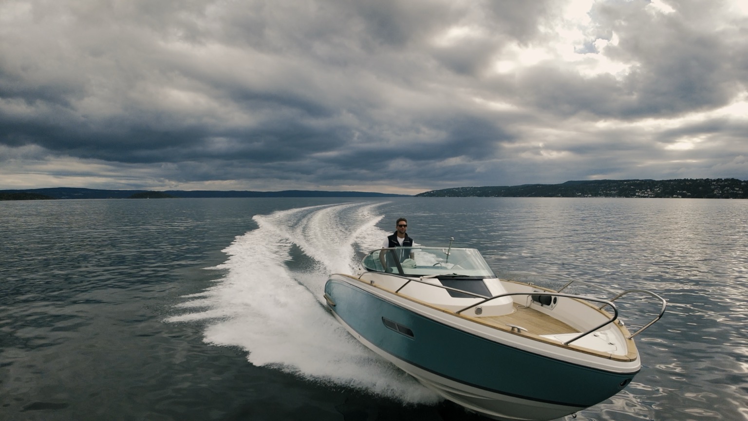
Private Cormate T28 charter on the Oslo Fjord.
Up to seven guests. Fixed pricing. Departures from Tjuvholmen, Oslo.
Check pricing & availability